Description
Ordnance Survey Explorer Maps Use A Smaller 1:25,000 Scale To Provide Unrivalled Levels Of Detail – So You’Ve Only Got Yourself To Blame If You Get Lost! Don’T Try Pinning It On The Compass Either…
Full Topographic Mapping Displays Elevation Contours At Every 5M, Or Every 10 Metres For Upland Areas, Allowing Pinpoint Navigation. This Makes Explorer Maps Ideal For Activities Like Hillwalking, Hiking, Mountaineering, Trail Running And Mountain Biking.
Route Planning Is Made Easy With Rights Of Way Markers For Footpaths, Bridleways And Byways, Plus Symbols For Campsites, Youth Hostels And Other Services.
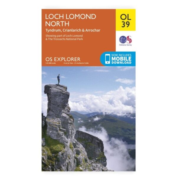
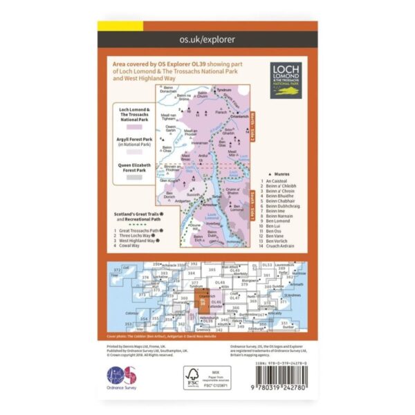
Explorer Ol39 Covers The Loch Lomond Area, Including The West Highland Way, Strathclyde, Crianlaric And Loch Lomond And The Trossachs National Park.

